June 2003
Cartographic Materials - The Basics
Presented byMary Lynette Larsgaard
Assistant Head, Map and Imagery Laboratory, Library
University of California, Santa Barbara
mary@library.ucsb.edu
805/893-4049; fax 805/893-8799
This presentation - which is in MARC21 field order - deals only with major cataloging situations/problems that pertain to electronic-resource cartographic materials.
Leader, Position 6 - Type of record
Please be sure to USE THE MAP FORMAT (cartographic material, non-manuscript - e), NOT THE COMPUTER FORMAT (m).008 for maps:
Position 29 - Form of item - USE s
A one-character code that indicates the form of material for the item.
o # - None of the following
o a - Microfilm
o b - Microfiche
o c - Microopaque
o d - Large print
o f - Braille
o r - Regular print reproduction Eye-readable print.
o s - Electronic
006 for computer files/electronic resources - always put this in, in addition to 006 information for cartographic materials.
Example of entry: 006 mu f
- 00 - Form of material
- m - Computer file/Electronic resource
- 01-04 - Undefined
- 05 - Target audience [usually left blank]
- 06-08 - Undefined
- 09 - Type of computer file [c seems to fit; u often used]
- a - Numeric data
- b - Computer program
- c - Representational
Pictorial or graphic information that can be manipulated in conjunction with other types of files to produce graphic patterns that can be used to interpret and give meaning to the information. - d - Document
- e - Bibliographic data
- f - Font
- g - Game
- h - Sound
- i - Interactive multimedia
- j - Online system or service
- m - Combination
- u - Unknown
- z - Other
- | - No attempt to code
- 10 - Undefined
- 11 - Government publication [e.g., f for federal]
Help screen in OCLC for filling in 006

245 Title, GMD, subtitle, statement of responsibility
Example: 245 |h [electronic resource]250 Edition Use version numbers for item as a whole, not just for the software used to run the data; that latter information is given in 538, System requirements. Example: Version 1.0. Here's a sample 255, 256, 352: Scale 1:250,000 ; Robinson proj. (E 138.00°-E 153.92°/S9.00°-S 29.83°). - Electronic data. - Raster : pixel ; TIFF. 255 |a Scale When an electronic resource has a scale statement or if the scale is already recorded as part of the title proper or other title information, give the scale. In all other cases, use Scale not given. Example:Scale 1:1,000,000 ( Scale appears in title: ArcWorld 1:1M) In the world of digital geospatial data, it is resolution (the size of the smallest object perceived) that is important. The international group working on a revision of ISBD(CM) is considering having resolution (e.g., Resolution 1 meter) instead of scale for digital materials. 255 |b Projection. Projection name is given here; details of projection (and of grids and other coordinate systems) are given in 342 and 343. The latter are considered note fields and should appear in Area 7 (MARC21 fields 5xx). 255 |c Coordinates. Decimal coordinates are most likely to be seen in electronic-resource cartographic materials, because of decimal degrees using the base 10 instead of the base 60. Example of decimal degrees: W 77.9° Example of decimal minutes: W 77°9.8 Example of decimal seconds: W 77°9'8.3724"
In parallel subfields, 034, d,e,f,g:
- - Coordinates--westernmost longitude (NR)
- - Coordinates--easternmost longitude (NR)
- - Coordinates--northernmost latitude (NR)
- - Coordinates--southernmost latitude (NR)
The coordinates may be recorded in the pattern hdddmmss; other forms are also allowed, such as decimal degrees. The subelements are each right justified and each unused position contains a zero.
E079.533265 E086.216635 S012.583377 S020.419532
+079.533265 +086.216635 -012.583377 -020.419532
256
300|a always contains a genre term and in many cases a form term;
300|b contains information as to, e.g., color or not; and
300|c contains the measurement in cm. of the form if no measurement in cm. of the genre item is available.
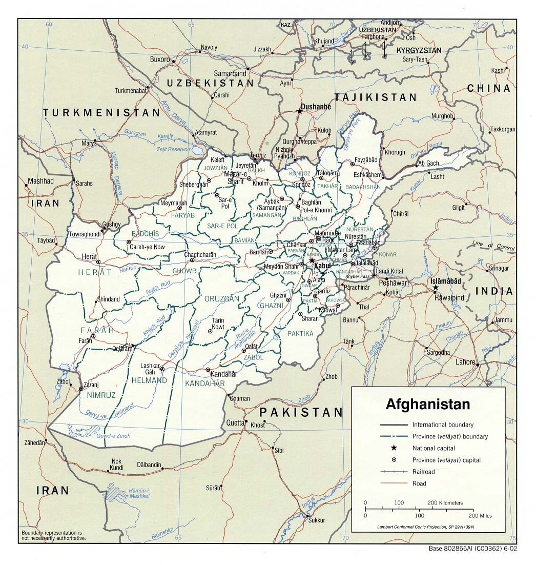
300 |a 184 remote-sensing images (ca. 5 gigabytes) on 10 CD-ROMs : |b col. ; |c discs 4 ¾ in. Remote electronic-resource cartographic material: This is still under discussion. Since Chapter 3 is a chapter in which genre terms are always used in Area 5 (300|a specifically), it is not logical not to have an Area 5 just because an electronic cartographic item is stored remotely. The classic example of this is the extremely useful page-size (8 ½ x 11) paper maps of continents and foreign countries issued by the U.S. Central Intelligence Agency. Let us take as an example the CIA map of Afghanistan. In the DLC record (2002-626218) for the 2002 paper edition, 300 is given as: 300 1 map : |b col. ; |c 18 x 17 cm. The map is available several different places on the Web; one location is at the map collection of the University of Texas at Austin: http://www.lib.utexas.edu/maps/middle_east_and_asia/afghanistan_pol_2002.jpg where it is noted that the map is 261 kilobytes. So a catalog record for that version of the map could very helpfully for our users include the following information:
300 1 map (261 kilobytes) online : |b col.
5xx
343 ## Coordinate pair 30.0; $ f0.0001; Degrees, minutes and decimal seconds; North; U.S. feet.
514 Data quality note.
This field is not specifically mentioned in AACR2R. Here's an example from MARC21: ##Horizontal position accuracy 1-3 meters Differential GPS 3 meters Static tests Bar test One foot Bar checkNote that, as with 342 and 343 which were conceived to be computer-search fields, this is now a note field and will require display constants in order for the subfield values to make any sense.
551 Entity and attribute information note. This field is also not mentioned in AACR2R. It is for use in describing geographic information systems (GISs). The most useful subfields are |o Overview (a summary) and |u for URIs.
65x Subject headings.
a.Databases may be used only for GISs, not for rasters (e.g., scanned maps). b.Unfortunately, there is currently no way to indicate in 650 or 651 that a scanned map is indeed in digital form. Therefore LC's Geography and Map Division has been using a 653 (Index term - uncontrolled), Maps--Digital. c.Don't use Digital mapping. That term is for works ABOUT digital mapping, not for actual digital maps.REFERENCES
Datums, ellipsoids, grids, and grid reference systems. Prelim.ed. [1988] Washington, D.C.: U.S. Defense Mapping Agency. (DMA technical manual ; 8358.1)Larsgaard, Mary Lynette. 1999. Cataloging Cartographic Materials on CD-ROMs. Cataloging and Classification Quarterly 27(3/4):363-75.
Welch, Grace; and Williams, Frank. 1999. Cataloguing Digital Cartographic Materials. Cataloging and Classification Quarterly 27(3/4):343-62.